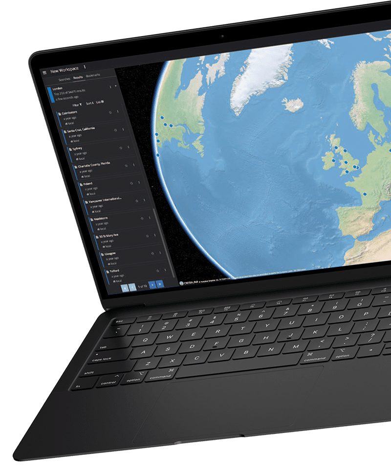
Distributed Data Framework (DDF) is an open source, search and discovery application that abstracts services and business logic from underlying data structures to enable rapid integration of new data sources and robust geospatial capabilities. With DDF, your team can find exactly what you need, when you need it — regardless of location.
Your mission success relies on your data. But how do you make sense of massive, disparate amounts of information quickly and securely? DDF empowers analysts with the flexibility to see the entire picture or drill down to the details, resulting in better intelligence and smarter decisions.
Using a simple web-based interface, DDF enables users to query data using geospatial, temporal, and textual criteria either alone or as part of complex combinations — transforming information from disparate, remote data sources to actionable intelligence. What’s more, DDF enables rapid integration of existing catalogs and includes powerful transformations to adapt to connected systems. Cutting edge visualizations empower users with the ability to sort and analyze data in multiple formats, all in a single place. As a fully operational and scalable system out of the box, DDF is changing the way agencies interact with geospatial data.
DDF implements many Open Geospatial Consortium (OGC) standards including OGC Filter Encoding Standard and Catalog Service for the Web (CSW) and, in cases where a standard interface is not enough, provides a rich set of APIs to allow integrators to extend capabilities to meet their mission’s needs. APIs include the ability to add new metadata transformations, custom data sources, custom web services to expose the normalized data, and an action framework that enables users to invoke data-specific actions such as advanced analytics.
Department of Defense
The U.S. Military developed the Distributed Common Ground System (DCGS) Integration Backbone (DIB) to make intelligence products visible, accessible, understandable, trusted, and interoperable between the seven DCGS programs operated by the United State Air Force, Army, Navy, Marine Corps, NGA, SOF, and the Intelligence Community. Since each service has its own intelligence collection capabilities and Processing, Exploitation, and Dissemination (PED) capabilities, a system was needed for secure content discovery and retrieval both within and between programs. Thousands of processing nodes are required to support operations from the tactical edge to the national enterprise. Furthermore, coalition partners including the Five Eyes community, NATO, and various Bilateral and Multilateral sharing agreements drive a need for an ITAR free, cost-effective means for intelligence sharing.
Empower your analysts to make sense of massive amounts of geospatial data in just a few clicks. With our currently available and out of the box solution, you can start benefiting from DDF immediately. Contact our team for more information or to schedule your demo.